Every once in a while, you may want to take a road trip and explore locations other than the ones you are familiar with. When taking a road trip, it is prudent to have a reliable road map to avoid getting lost on your way. The following is a list of the best road maps in Europe to use in your travel adventure.
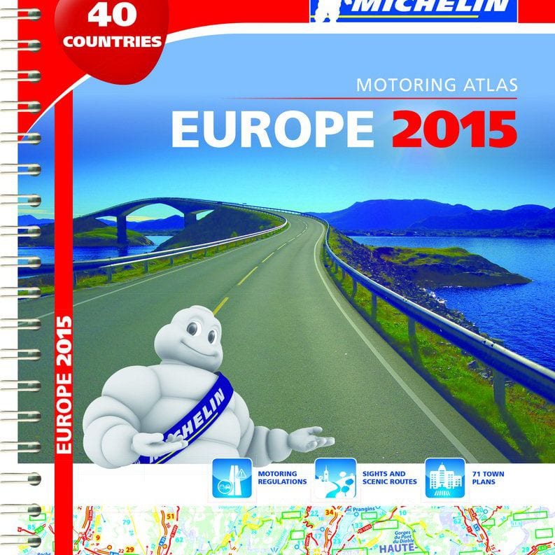
1. Europe Road Atlas by Michelin

This is a map that will ensure you have a safe drive across Europe. The map has a spiral bound cover and it covers 40 countries. It is updated annually with mapping scales at 1/500,000 – 1/3,000,000. The Europe Road Atlas also includes driving regulations for the different countries. Other features in the Europe Road Atlas include:
• Journey times and mileage chart
• Key to map pages to help in quick location of regions of interest
• Motoring regulations
• 78 town plans to help in easy movement through the towns
• Information on places of interest for tourists
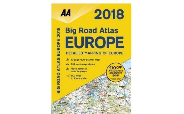
2. 2018 Road Atlas Europe

The 2018 Road Atlas Europe is A4 in size that has information on speed limits in the 46 countries it covers. The atlas also contains emergency telephone numbers plus national parks and other tourists’ areas of interest. Information on toll-free motorways, road distances, car ferries, and mountain passes suitable for caravans is also in the 2018 Road Atlas Europe.
3. Michelin Germany/Austria/Benelux/Switzerland Atlas
The atlas has an exciting inside and outside look with the cover design highlighting focus on road discovery, travel, and adventure. The inside contains easy to read page numbers that make location of the journey’s next page easier. There are small locator maps that easily locate the map page on a larger area for easier movement. Towns on the map are also accompanied by surroundings areas plus the location of the town centre and important amenities such as hospitals.
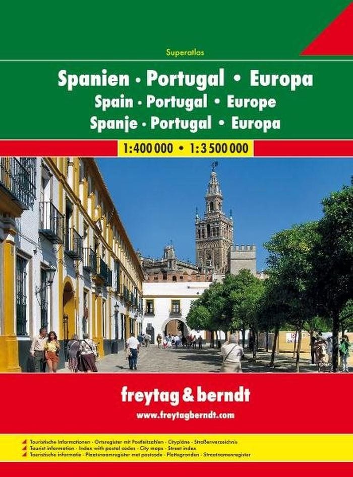
4. Spain and Portugal A4 Spiral Atlas

Portugal is a beautiful and affordable destination for European and American travellers. The Spain and Portugal A4 Spiral Atlas has detailed maps of all cities in Spain and Portugal to help you with easy navigation.
5. GPS Devices
Atlases are bulky and some people might find them difficult to read and interpret. A GPS device is another map you can use to navigate your way through Europe. Renting your GPS device with your car is ideal as a phone might run out of data although the GPD device may only contain maps for the particular country. Make sure that the device is in English or a language you are conversant with to avoid problems. if you decide to carry your GPS from home, make sure you download European maps before you leave.
In conclusion, going on a road trip mostly involves renting a car especially if you are travelling through a number of countries. It is important to have care insurance for your hire car. However, the insurance that is mostly provided by car rental companies is expensive to people. This is why you should consider Car Hire Excess Insurance for your hire car.

